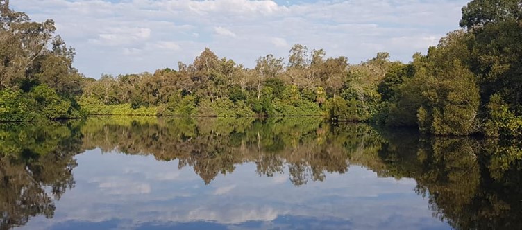
The traditional country of the Kabi Kabi People of south-east Queensland is along the Sunshine Coast from north of Brisbane to the Gregory and Isaac Rivers south of Bundaberg. Their land takes in the eastern part of the coastal ranges including the volcanic Glasshouse Mountains and the great Mary River valley which flows from the Conondale Ranges to the sea near Maryborough.
Kabi Kabi People were experts in living in a variety of landscapes from surf washed shores of the Coast to the tidal reaches of Pumistone Passage up to high dense rainforest dominated by Bunya Pines. The resources of this part of Australia were abundant enough to sustain large populations and the Kabi Kabi People were divided into local groups each trading with one another, involved in ceremony and marriage alliances and coming together for fights with their neighbours.
The Kabi Kabi People were also one of the main tribes involved in the massive Bunya Festivals held every few years at the Bunya Mountains to the west of Kabi Kabi country. They had networks of trade, travel and ceremony with their Gooreng Gooreng neighbours to the north, their Wakka Wakka neighbours to the west and their Yugarupal neighbours to the south.
There are a great number of sacred and ceremony sites, on Kabi Kabi land. Many bora rings still exist and can be visited, axe grinding and painting sites are still extant in Kabi Kabi country. The individual peaks of the Glasshouse Mountains have traditional Kabi Kabi names like Mount Elimbah, Mount Ngungun, Mount Tibberoowuccum, and Mount Tibrogargan. Mudjimba Island is named after a Kabi Kabi story and it is the only rock island on the Sunshine Coast as Bribie Island is a sand island with no natural stone.


